


Find TerraClear in The Book
TerraClear is now listed in The Book, the farm equipment and services directory from FarmPages. The Book reaches more than 150,000 farms across the US and Canada in print and online. You can find our listing in the Precision Farming and Weed Management sections, or go straight to TerraClear on FarmPages.
If you are new to TerraClear, here is what we do and how it fits your season.
What TerraClear does
TerraClear uses high-resolution aerial imagery and AI to map rocks and weeds in your fields. The next day, you get more than a map: an optimized rock pick route for your crew, or a precision spray plan your sprayer runs on.
Rock mapping
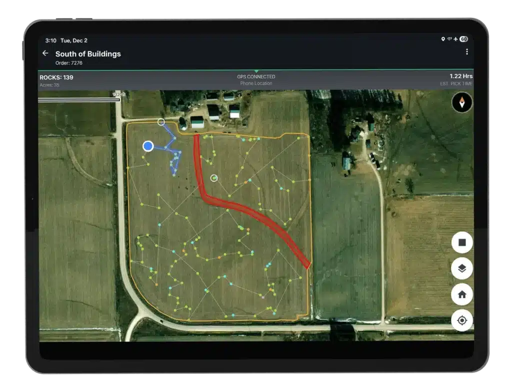
Rocks damage equipment and slow down planting and harvest. A mid-size operation can lose $5,000 to $25,000 a year to rock damage. A TerraClear Rock Map pins each rock we find with a photo and a GPS location, accurate to the centimeter.
- Filter the map by the rock size you care about
- Follow an optimized pick route in the TerraClear app
- Share the map with your pick crew and track progress live
- Pick with your own crew or equipment, or hire an independent service provider
Growers find 3x more rocks and pick 3x faster. There is no equipment to buy.
Weed mapping
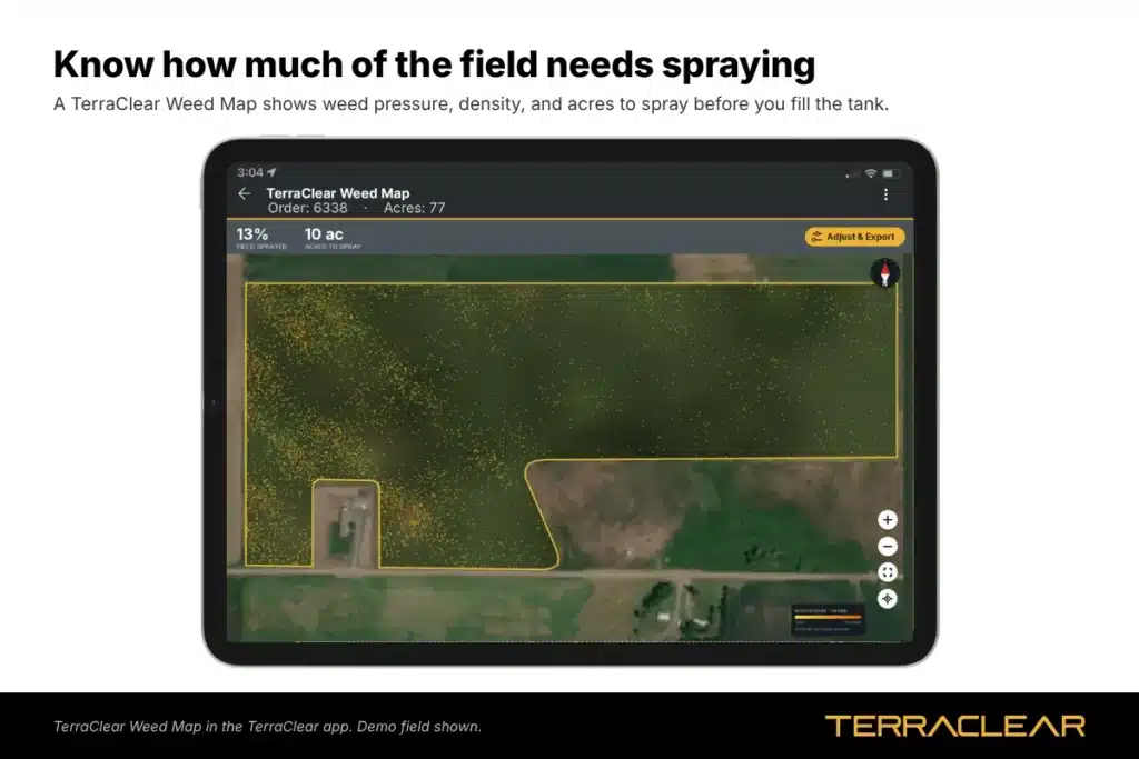
A TerraClear Weed Map shows weed density across your whole field at 1.5 mm resolution, detecting weeds from 1/4 inch. We turn that map into a spray plan your sprayer can run, with nozzles on where weeds are and off where they are not.
- Up to 80% less chemical
- Works with any modern sprayer with section or nozzle control, including John Deere, Ag Leader and Case IH
- Available now for corn and soybeans
TerraScout
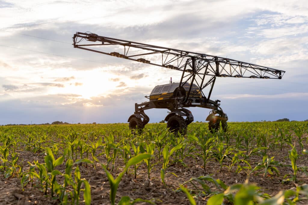
TerraScout is our autonomous field scout. It captures ultra-high-resolution ground imagery and produces real-time prescriptions, covering 1,000+ acres per day. Join the waitlist.
Where TerraClear is available
TerraClear maps fields in Iowa, Ohio, Michigan, Illinois, Indiana, Minnesota, Kansas, Missouri, Wisconsin, North Dakota, Montana, South Dakota and Nebraska. Canadian growers in Alberta, Saskatchewan and Manitoba can visit terraclearinc.ca.
Frequently Asked Questions
The Book is a directory of farm equipment, supplies and services for growers in the US and Canada, published in print and online at farmpages.com.
Maps are delivered the next day after image capture.
No. TerraClear maps them. You pick with your own crew or equipment, or hire an independent service provider.
No. A Weed Map works with sprayers that have section or nozzle control.
Get your map
Order a Rock Map or Weed Map, or find us in The Book.
Questions? Reach out!

Charles Stover is a Marketing Manager at TerraClear. His marketing career spans 20+ years in broadcast, healthcare, SaaS, and ag tech, with a focus on building and executing award-winning, data-driven campaigns. He’s a University of Oregon School of Journalism grad, a girl dad, and a lifelong Ducks fan. Find him at Charles-Stover.com or on LinkedIn