


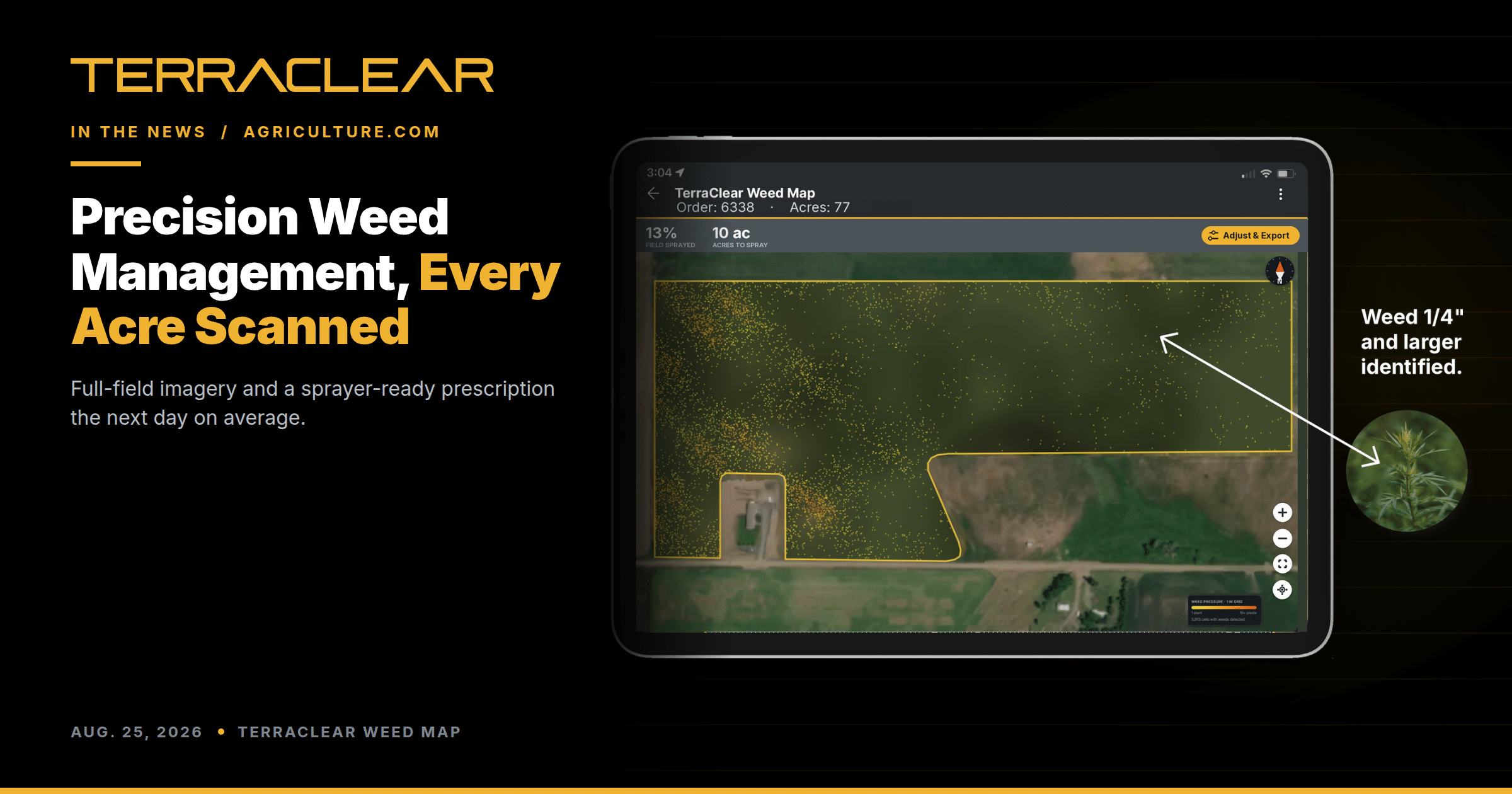
Precision Weed Management, Down to 1/4″ Weeds TerraClear Weed Maps Target Weeds as Small as 1/4 Inch
Agriculture.com covered the commercial launch of TerraClear Weed Maps for corn and soybeans, and led on the number that matters at spray time. The system finds weeds down to 1/4″.
Size is really a question of timing. A weed you can see from the cab has already set back your yield and hardened off against the chemistry. Catching it at a quarter inch puts the decision back in your hands, while the weed is still cheap to kill.
Getting there takes resolution and coverage. TerraClear Weed Maps are built from 1.5-millimeter imagery across the whole field, edges and waterways included, not a sampled strip. Collection runs more than 1,000 acres a day in favorable conditions. The map comes back the next day on average.
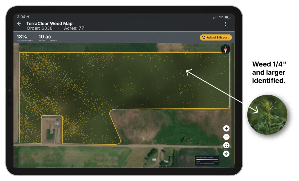
What you get is not a picture of your problem. It is a prescription, with 10cm geospatial accuracy for nozzle control, that loads into John Deere, AgLeader, and CaseIH sprayers with section or nozzle control. Growers running it use up to 80% less herbicide with the same control. Your agronomist’s recommendation does not change. The acres that receive it do. Stand count maps for emergence and population come off the same flight, so one pass answers two questions.
The weed work rests on the rock work. TerraClear has mapped more than 1.5 million acres for over 1,000 farm operations, teaching its models to pick small objects out of big fields. That capability carried straight into weeds.
Acre commitments are open for the 2027 season.
Worth a read if you are budgeting chemical for next year. Run your acres through the Weed Savings Simulator or talk to our team.