


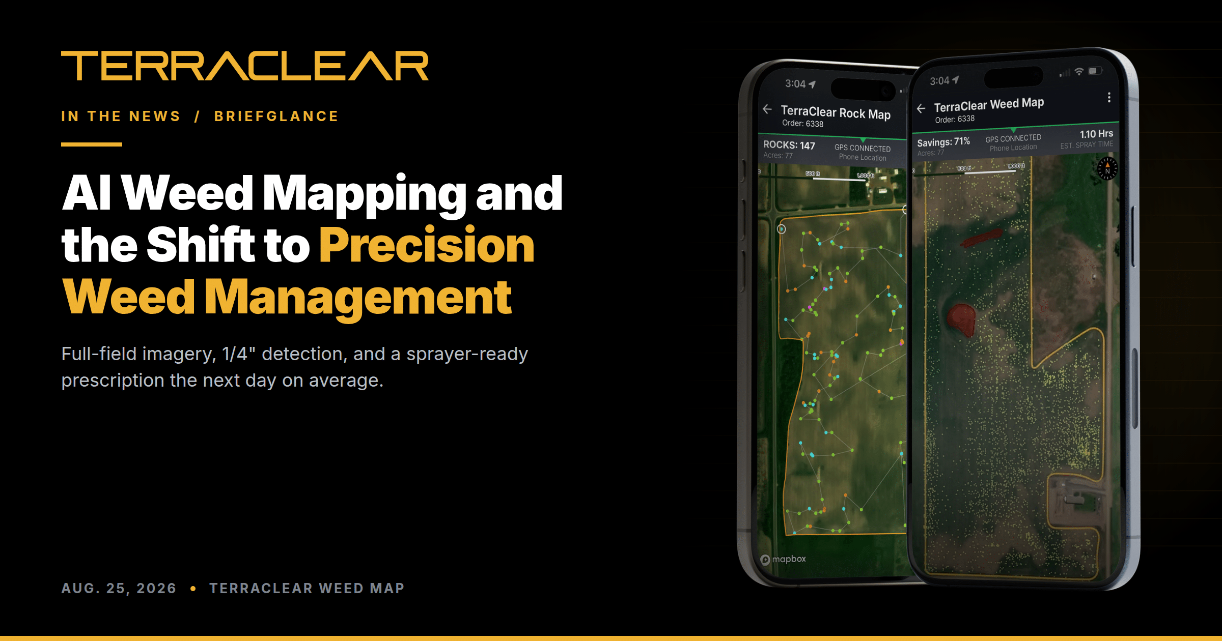
Can AI Weed Mapping Remake Modern Farming?
BriefGlance columnist Sarah Hughes looked at where AI weed mapping is headed, and what it means for growers deciding how to spend a herbicide budget. The piece traces TerraClear from rocks to weeds.
The rock work came first. Since 2017, TerraClear has mapped more than 1.5 million acres for over 1,000 farm operations, teaching its models to find small objects in big fields. That foundation carried straight over to weeds.
“We spent years learning how to find a rock the size of a fist in a 160-acre field,” TerraClear CEO Devin Lammers told BriefGlance. “Once you can do that reliably, at scale, and at a price a grower will actually pay, weeds are the natural next problem.”
TerraClear Weed Maps cover the whole field, not a sample. Every acre, including edges and waterways, at a resolution fine enough to catch weeds at 1/4″. The output is not a picture. It is a sprayer-ready prescription, delivered the next day on average, that runs on John Deere, AgLeader, and CaseIH sprayers with section or nozzle control. Growers using it report up to 80% less herbicide with the same control.
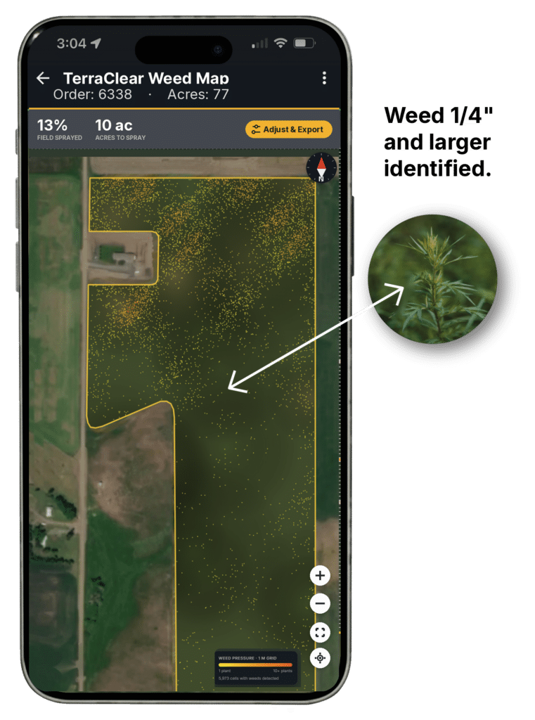
“The map is the product,” Lammers said. “It’s what turns a sprayer from a broadcast tool into a targeting tool.”
Hughes draws the line between this and See & Spray or the Bosch and BASF partnerships: TerraClear separates the imaging from the spraying. You do not buy a new sprayer to get the data. The map comes to the machine you already run.
She also covers the two ways growers buy in, mapping as a service priced per acre and a hardware plus subscription path for larger operations.
Worth reading if you are weighing what precision weed management costs to adopt and what comes back. Run your own numbers in the Weed Savings Simulator or talk to our team.